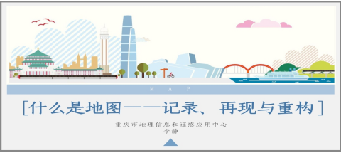
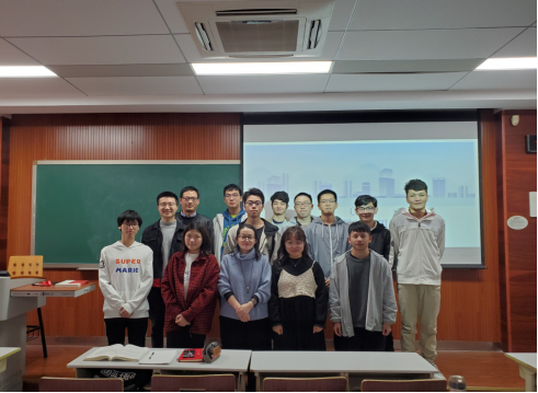
On the morning of 11th November 2019, Li Jing, deputy director of Chongqing Geographic Information and Remote Sensing Application Center,was invited to give the title called “What are Maps - Recording, Reproduction and Reconstruction” for the 2018 surveying and mapping students in the D1412 classroom of Huxi Campus.
First of all, Director Li took the evolution of map carrier and the progress of drawing tools as the entrance and vividly combed the origin and development of maps and cartography, and told the students the map is not only a record and reflection of the geographical environment, but also an external business card of the city to serve the development of our social and economic life through the interpretation of Chongqing maps in various periods.

Then, through a variety of forms such as photos, videos, animations, etc., Director Li introduced the work carried out by her own work around the map to show the charm and new direction of the map work, “Weekly Map” “824 Research Institute” “Chongqing Geography Exploration” have aroused great interest from the students and have been well received by everyone.
Finally, with her own study and work experience, Director Li shared her views on the development situation and prospects of the surveying and mapping discipline, and encouraged students to combine learning with practice to become a contemporary college student who knows what to do.
Deputy Director Li Jing has been engaged in the economic and social development of surveying and mapping geographic information services for a long time, especially in the research and practice of supporting planning and natural resource management, she also has made outstanding contributions in promoting map innovation and in-depth mining of culture of map, among which The “Monday Map” created a new model for the map service public. The “824 Research Institute” pioneered the discovery and reconstruction of the map through the map, providing cultural accumulation for the cultural heritage of the country.
Director Li conducted this academic report through her own work experience, video display and practical application cases. The report was vivid, and gave students a preliminary understanding of cartography, maps and the development of geographic information technology, which increased the students' interest in learning, broadened their horizons and benefited everyone.
