1. Overview
Surveying and mapping laboratory is one of the teaching and practicing bases and scientific research platforms of Chongqing University, providing practicing platforms for such majors as engineering surveying, civil engineering, architecture and urban planning, environmental engineering, engineering project management, real estate management, project cost estimation and calculation, water supply and drainage, mining engineering, etc..
The laboratory consists of routine surveying laboratory and professional surveying laboratory, possessing the construction area of 1014 m2, located in Campus D and Campus B respectively. It takes the pedagogical tasks for at least 1100 students annually, and the total number exceeds 8 million until now. The laboratory undertakes practice teaching tasks of professional basic courses such as principles and methods of digital mapping, photogrammetry, foundation of geodesy, principles and methods of GIS, basics of remote sensing techniques, principles and methods of GPS, deformation monitoring analysis and data processing, etc..
The laboratory is a professional laboratory of surveying and mapping, being capable of carrying out pedagogical, scientific research and social activities in the fields of engineering surveying, geodesy, photogrammetry and remote sensing, GIS and deformation monitoring.
2. Routine surveying laboratory
It covers an area of 464 m2, taking practice teaching tasks for general courses, engineering surveying. The main equipment includes 125 sets ordinary optical theodolite, 76 sets ordinary optical levelling instrument, 64 sets automatic levelling instrument, 8 optical surveying panels, 2 sets coordinate grid scales and related accessories.
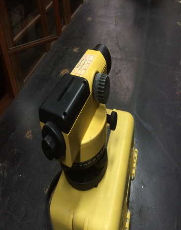
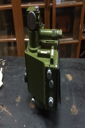
Theodolite Digital Levelling Instrument
3. Professional surveying laboratory
The construction area of this laboratory is 550 m2, taking teaching and scientific research tasks for surveying and mapping specialty of the School of Civil Engineering. The main equipment includes 4 sets highly precised optical theodolite, 2 sets digital leveling instrument , 20 total stations, one set non-prism total station instrument, 3 sets static GPS device, 3 sets RTK equipment, one set terrestrial photography theodolite, a close range stereo camera, a stereo coordinate measuring instrument, a laser plumb instrument, a pantograph, digital instrument, one set line the meter, a single projection drawing instrument, 12 sets indium steel, Tsinghua Shanwei handheld mapping software and related accessories.
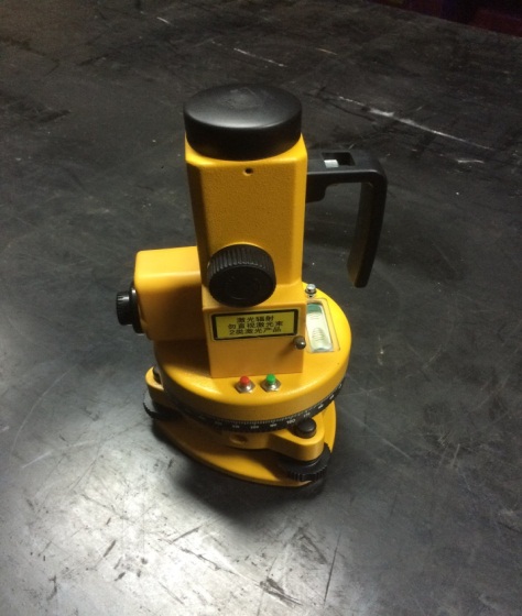
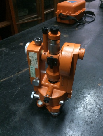
Terrestrial photography theodolite laser plumb instrument
